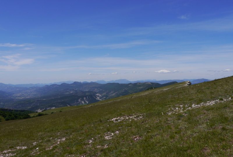
From the top of Chamouse mountain, a superb 360° panoramic view of the Alps, Ventoux and Lure mountain ranges, and the impressive cliffs overlooking the village of Izon.
Description
In spring, botanists come to feast on a variety of flowers that dot the pastures. On the way back down to the Tussie forest, the most observant will be lucky enough to catch a glimpse of the mythical "sabot de vénus", an orchid difficult to confuse with any other.
Departure point: "Izon-la-Bruisse, alt.1000 m", Town Hall parking lot.
Access by car: From Séderon, take the D 542 towards Laragne, then the D 170. In Eygalayes, after the town hall, take the 1st road on the left towards Izon-la-Bruisse.
1. From the parking lot, follow the track up to the left as far as "Col d'Olun, alt.1237 m".
2. From the pass, turn right for about 100 m.
3. At the crossroads, leave the right-hand track coming from Laborel and continue straight on, staying on the main route as far as "Col d'Izon, alt.1343 m".
4. At the pass, turn right. 100 m further on, watch out for the start of a small path that climbs along the ridge. Follow the cairns up to the summit of "Montagne de Chamouse", alt.1532 m, marked by a geodesic marker. 360° view.
5. Continue to follow the ridge northwards for 900 m.
6. When the slope eases off at a place called "La Tussie", fork right along an undergrowth path lined with beech trees.
7. At a small pass ("Sous la Tussie", alt.1343 m), leave the left-hand path and go straight down, winding through the undergrowth. Come out at the bottom of the valley at a crossroads at Les Drayes.
8. Take the right-hand path along a fence. This climbs up to "Col de Tous les Vents" and then reaches point 3. Turn left to reach point 2.
2. Take the same route back to Izon-la-Bruisse town hall.
Spoken languages
- French
Labels and ranking
- Open air
Activities
- Pedestrian sports
- Hiking itinerary
Visit
Individual tour
- Average Duration of the individual tour: 213 minutes
Rate
Situation
To see the spot on the map, you can fly over the altitude difference below.

